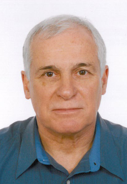
President, Phoenix Geophysics Limited

He started his career in earth sciences in 1963, working on the underground surveying crew at United Keno Hill Mines, in the Yukon Territory.
From 1963-1969, he worked at underground and surface mining, drilling, and geophysical exploration. He got a B.Sc. (Hons.) in Geophysics from University of British Columbia (UBC) in 1972.
He worked as Computer Programmer and Research Associate at UBC from 1972-1975.
He worked with earth-science related computer systems in Saudi Arabia and Kuwait from 1975-1977, then traveled worldwide.
From 1978-1980, he worked for Huntec (Toronto) in worldwide sales of geophysical instrumentation.
In 1980-1981, he completed course work for M.Sc. in Computer Graphics at University of Toronto.
He joined Phoenix Geophysics in 1982; since 1987, he has been President. In 1996, he invented and patented the first GPS-synchronized MT system, which has become a world standard, with thousands of units sold and operated in many countries for exploration and research.
Session 8 - Implementing innovation in mineral exploration
Cost-effective exploration and drill targeting using AMT, MT and TDEM
The following generalities about exploration trends for metallic minerals are well understood:--the correct regulatory environment is required (such as the recent new mineral law established in Kazakhstan)
-- finding costs are rising, per unit value of discovered metal
-- average discovery size is decreasing
--average grade is decreasing
--depth of new discoveries is increasing
--most value comes from the rare world-class, Tier 1 greenfield discoveries
Therefore, geophysical techniques must look deeper, with better resolution, while becoming ever more cost-effective. The most important target is large new greenfield discoveries, as deep as several hundred m subsurface, most likely without any surface exposure, although brownfield exploration cannot be neglected.
Airborne geophysics (TDEM, AMT-tipper) is generally used to focus the search area; deep-looking surface geophysics (AMT, MT) is used to define the drill target.
We provide 1-2 examples of the use of these techniques in recent discoveries.